
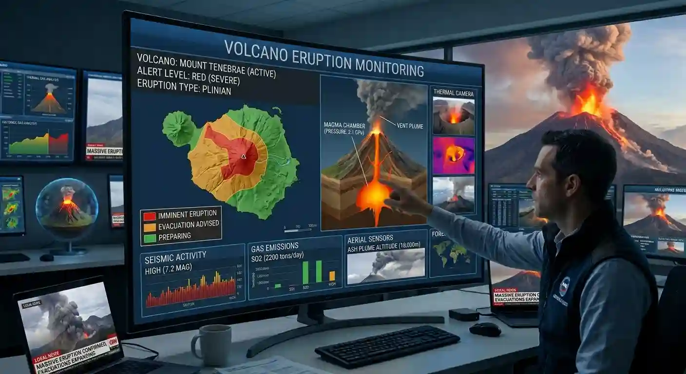
Track active volcanic eruptions, thermal anomalies, and seismic activity worldwide in real-time with our interactive live global volcano monitoring map.
Alert levels: USGS and international volcano observatories. Heat signals: NASA VIIRS detections within about 4 km of the summit. Earthquakes: USGS, magnitude 2.5 and above within 30 km, last 7 days. Always follow your local volcano observatory and civil protection.
Understanding Volcanic Eruptions & Global Risk
Volcanoes are among the most powerful natural forces on Earth. While a volcanic eruption can create stunning landscapes, fertile soil, and new land, it can also cause massive destruction. Across history, active volcanoes have reshaped continents, changed global weather patterns, and wiped out entire cities. Tracking them in real time is not just a scientific interest—it is essential for public safety and disaster response.
The Power of Historic Eruptions
To understand why tracking volcanic activity is so important, we only need to look back at history. The world has seen several cataclysmic eruptions that altered human life on a global scale.
Mount Vesuvius
79 ADThe famous eruption in ancient Italy destroyed the Roman cities of Pompeii and Herculaneum. Ash and scorching gases buried the towns, preserving them for centuries but costing an estimated 2,000 to 10,000 lives.
Mount Tambora
1815Located on Sumbawa Island in Indonesia, Mount Tambora produced the largest and most deadly volcanic eruption in recorded history. The explosion blocked sunlight globally, leading to 1816’s “Year Without a Summer,” with a total death toll exceeding 71,000 people from famine and disease.
Krakatoa
1883Another Indonesian giant, Krakatoa exploded with a sound heard nearly 3,000 miles away. The collapse of the island generated massive tsunamis that destroyed hundreds of coastal villages and killed over 36,000 people.
Mount Pelée
1902A sudden, super-heated cloud of gas and dust (pyroclastic flow) raced down the mountain on the island of Martinique. It wiped out the town of St. Pierre in just a few minutes, killing nearly 30,000 people.
Mount Pinatubo
1991The eruption in the Philippines was the second-largest of the 20th century. Early warnings saved thousands of lives, but it still injected roughly 20 million tons of sulfur dioxide into the atmosphere, lowering global temperatures by about 1 degree Fahrenheit.
These events show how a single mountain can impact millions of lives far beyond its immediate location.
How Modern Monitoring Works
Today, scientists do not rely on guesswork to monitor active volcanoes. Modern tracking systems look for specific early warning signs before an eruption occurs.
Seismic Activity
As magma moves upward under the Earth’s crust, it breaks rocks and triggers small earthquakes. A sudden spike in localized tremor activity often signals that an eruption is near.
Thermal Detections
Satellite imaging detects heat signals (thermal anomalies) around crater rims. When hot lava reaches the surface or gas vents heat up, satellite sensors detect the heat increase right away.
Ground Deformation
As gas and magma build up inside a volcano, the ground swells outward. Tiltmeters and GPS equipment placed on the mountain detect these subtle shifts in shape.
Gas Emissions
Volcanoes release gases like sulfur dioxide (SO₂) and carbon dioxide (CO₂). A sharp increase in gas output usually indicates rising magma.
What’s the fuss about tracking the volcanoes?
Tracking volcanoes live gives emergency personnel and air traffic controllers the information they need to react quickly. Volcanic ash poses a major threat to aviation because ash particles can melt inside jet engines and cause engine failure. Real-time satellite tracking allows air traffic routes to be diverted around dangerous ash plumes.
For local populations, early warnings mean timely evacuations. While we cannot stop a volcanic eruption, tracking tools give communities the precious time needed to move out of harm’s way.
Volcano FAQ
At any given moment, between 40 and 50 volcanoes worldwide are actively erupting or showing continuous signs of activity. On average, around 60 to 70 volcanoes erupt each calendar year, with the vast majority located along the Pacific Ring of Fire.
Before an eruption occurs, scientists look for four major warning signals:
Seismic activity: A sharp increase in localized small earthquakes as rising magma fractures rock.
Ground deformation: Inflation or swelling of the volcano’s surface detected by GPS sensors and tiltmeters.
Gas emissions: Surges in released gases such as sulfur dioxide SO2 and carbon dioxide CO2.
Thermal anomalies: Heat signals picked up by thermal satellite imagery around the crater rim or vents.
Satellites equipped with thermal infrared sensors (such as NASA’s VIIRS and MODIS instruments) detect surface temperature differences from space. When magma reaches the crater or hot lava flows erupt, these sensors capture thermal radiation within a few kilometers of the volcano summit, allowing real-time monitoring even in remote areas.
Active: A volcano that is currently erupting or has erupted within historic times and shows ongoing unrest.
Dormant: A volcano that is not currently erupting but has erupted in recent human history and has the potential to erupt again in the future.
Extinct: A volcano that scientists consider unlikely to erupt again because it has no remaining magma supply.
Volcanic ash consists of microscopic, highly abrasive particles of glass and pulverized rock—not soft wood ash. When a jet engine ingests volcanic ash, the extreme heat inside the engine melts the glass particles into liquid slag. This coats the internal engine turbine blades, causing power loss or complete engine failure.
The Pacific Ring of Fire is a 25,000-mile (40,000 km) horseshoe-shaped zone wrapping around the edges of the Pacific Ocean basin. It is formed by converging tectonic plate boundaries (subduction zones) and is home to roughly 75% of the world’s active volcanoes and about 90% of the Earth’s earthquakes.
Observatories assign alert levels to give emergency personnel and the public a quick summary of volcanic hazards:
Normal (Green): Background, non-eruptive state.
Advisory (Yellow): Elevated unrest above background levels.
Watch (Orange): Heightened unrest with increased probability of eruption, or minor eruption underway with limited ash hazard.
Warning (Red): Major explosive eruption imminent, expected, or underway with dangerous ash hazards.