
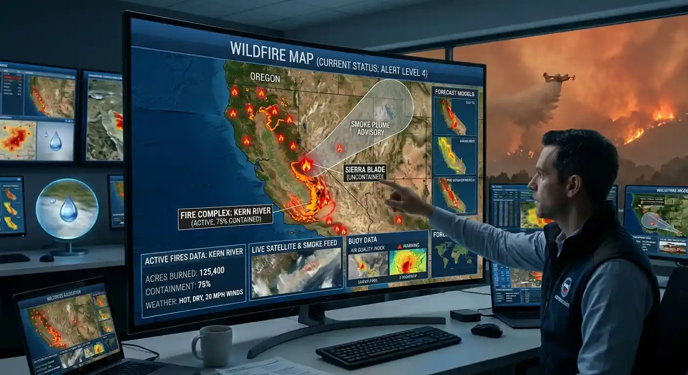
Active wildfires with size and containment, plus NASA satellite fire hotspots worldwide.
Fire hotspots: NASA VIIRS satellite detections via FIRMS, worldwide. The map shows the strongest detections in view. MW is fire radiative power, a measure of how intense the heat is. Named U.S. fires: National Interagency Fire Center. Hotspots can also be industrial heat sources or controlled burns. For evacuation orders, follow local authorities.
What This Wildfire Map Shows
This page shows active wildfires around the world on a live map. The data comes from NASA satellites that detect heat on the ground. Each dot is a fire detection, and the color shows how intense it is. The list next to the map groups nearby detections into fire areas and ranks them by total fire power. Use the region menu to jump to a continent, switch between the last 24 hours and the last 7 days, or turn on the layer with named fires from the United States.
Is There a Wildfire Near Me?
Press Near me and allow location access. The map moves to your position, and the list shows the closest fire areas, with distances in kilometers or miles depending on your language settings. If nothing is listed nearby, no fire heat has been detected in the area during the selected time. Hotspots often show up before a fire gets a name or an official report. This map is not an evacuation tool. For evacuation orders, check your local emergency services.
How Many Wildfires Burn Around the World
Satellites record millions of fire detections every year. About 400 million hectares (roughly 1 billion acres) burn each year worldwide, which is an area larger than India. Most of that is grassland and savanna, especially in Africa, where fires are often set on purpose to clear land or manage grazing. The fires that make the news are a small share of the total, but they do the most harm to people and forests.
Fire Season by Region
Fire season depends on where you are, so there is always a fire somewhere on the map.
- Western U.S. and Canada: June to September
- Mediterranean Europe: July to August
- Siberia: June to August
- Australia: October to March
- Amazon and Bolivia: August to October
- Southeast Asia and Indonesia: August to October
- Africa: November to March north of the equator, June to October in the south
Hot, dry and windy weather makes fires spread faster, and drought makes them harder to stop.
What Causes Wildfires
People start most wildfires, through things like campfires, farm and land-clearing fires, power lines and equipment. Lightning is a major cause in northern forests such as Canada and Siberia, where fires start in remote areas and can burn for weeks before anyone reaches them.
How Satellites Find Fires
The hotspots come from the VIIRS instruments on NASA and NOAA satellites. They detect heat in areas about 375 meters wide, and they pass over each location several times a day. New detections usually appear on the map within a few hours.
The number in MW is fire radiative power, which measures how much heat a fire gives off. A small campfire is far below 1 MW. A large, active wildfire front can reach hundreds of MW.
Not every hotspot is a wildfire. Gas flares, factories, volcanoes, farm burning and controlled burns can also show up. Clouds and heavy smoke can hide a fire from the satellite.
What Containment Means
In the United States and Canada, fire agencies report containment: the share of a fire’s edge where crews have built a barrier that should stop it from spreading. A fire that is 50 percent contained still has half of its edge uncontrolled, and a contained fire is not necessarily out. Other countries use terms like “under control” or “extinguished”.
Some of the Worst Wildfires in History
- Peshtigo, Wisconsin, 1871: About 1.2 million acres burned, and an estimated 1,500 to 2,500 people died. It is the deadliest wildfire in U.S. history.
- Indonesia, 2015: More than 2 million hectares burned, and smoke covered much of Southeast Asia.
- Portugal, 2017: More than 100 people died in two fire outbreaks during the year.
- Greece, 2018: The fire at Mati killed 104 people.
- Camp Fire, California, 2018: 85 deaths and more than 18,000 buildings destroyed, most of them in the town of Paradise.
- Australia, 2019 to 2020: The Black Summer fires burned about 18 million hectares, destroyed more than 3,000 homes and killed 33 people directly.
- Canada, 2023: About 18 million hectares (45 million acres) burned in one season, the worst on record there, and the smoke reached the U.S. East Coast.
- Lahaina, Hawaii, 2023: 102 deaths, the deadliest U.S. wildfire in more than a century.
- Chile, 2024: More than 130 people died in fires around Viña del Mar.
Wildfire Smoke
Smoke can travel thousands of kilometers. Fine particles in smoke can cause breathing problems even far from the fire. On smoky days, stay indoors with windows closed, use a HEPA air filter if you have one, and check your local air quality index.
Prepare Before a Fire Starts
Sign up for local emergency alerts, know two ways out of your area, and keep a bag ready with documents, medicine and chargers. If you are told to evacuate, leave early. EarthInformer is an information site and does not issue official warnings.
Source: Fire hotspots from NASA FIRMS (VIIRS). Named U.S. fires from the National Interagency Fire Center (NIFC).
Wildfire FAQ
Press Near me on the map above. It zooms to your location and ranks the closest fire areas by distance. If nothing shows up, no fire heat was detected nearby in the selected time period. For evacuation orders and official updates, check your local emergency services.
Containment is the percentage of a fire’s edge where crews have built a line that should stop it from spreading. A fire that is 100 percent contained is not growing, but it can still be burning inside the line.
Satellites like NASA’s VIIRS detect heat from space. They pass over each place several times a day, and new detections usually appear on the map within a few hours.
About 7 million acres in a typical year. More than 10 million acres burned in both 2015 and 2020.
People cause about 85 percent of wildfires in the U.S., for example through campfires, equipment, power lines and burning debris. Lightning causes most of the rest.
A hotspot is a spot where a satellite detected heat. It is often a wildfire, but it can also be a controlled burn, a gas flare or an industrial site.
Fire incidents refresh every 10 minutes. Satellite hotspots refresh when you move or zoom the map, and the underlying data is updated several times a day.