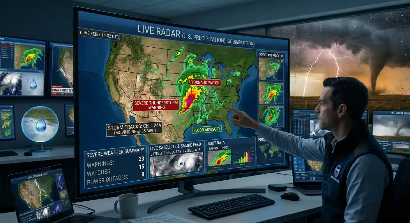
Live weather radar with tornado, severe thunderstorm and flash flood warnings on one map.
Radar: NOAA (United States), Environment and Climate Change Canada, Deutscher Wetterdienst (Germany). Satellite rain: NASA GPM IMERG, worldwide between 60 degrees north and south, delayed by several hours. Clouds: infrared imagery from GOES-East, GOES-West and Himawari, updated every 10 minutes. Warnings: U.S. National Weather Service. This page does not replace official warnings.
What This Live Radar Map Shows
This page shows live weather radar for the contiguous United States, combined with active tornado, severe thunderstorm and flash flood warnings from the National Weather Service. The radar comes from NOAA and refreshes every few minutes. Warnings appear as colored zones on the map, and the list next to the map shows each alert and how long it lasts. Use the buttons to filter by alert type, switch the radar on or off, or check alerts for your own location.
How to Read Weather Radar
Radar shows where rain, hail and snow are falling. The colors show how intense it is.
- Green: light rain
- Yellow: moderate rain
- Orange and red: heavy rain and strong storms
- Purple and pink: very intense rain, often with large hail
Radar does not show the clouds themselves, only what falls from them. A dark red core inside a storm line is usually where the strongest wind or hail is found. The U.S. has about 160 NEXRAD radar sites, and the map blends their data into one national picture.
Watch vs. Warning
A watch means conditions are right for a dangerous storm to form. It covers a large area and lasts several hours. This is the time to get ready.
A warning means a dangerous storm is happening or is about to happen in a specific area. This is the time to take action. For a tornado warning, that means moving to the lowest floor of a sturdy building, away from windows.
Warnings are drawn as shapes on the map. Watches cover whole counties, so they are listed but not drawn.
What Is a Severe Thunderstorm?
The National Weather Service calls a thunderstorm severe when it produces winds of 58 mph or more, hail of 1 inch or larger (about the size of a quarter), or both. Tornadoes can also form inside severe storms, and they get their own warning type.
Tornado Facts
The U.S. has about 1,200 tornadoes in an average year, more than any other country. They happen in every state, and the peak season in the Plains runs from April to June. The Southeast has a second peak in fall and winter. Warning lead times are often only 10 to 15 minutes, so do not wait to be sure.
Some of the worst tornadoes in history:
- Tri-State Tornado, 1925: 695 deaths along a path of 219 miles through Missouri, Illinois and Indiana. It remains the deadliest tornado in U.S. history.
- Super Outbreak, April 2011: More than 360 tornadoes in four days, and over 320 deaths across the South.
- Joplin, Missouri, 2011: An EF5 tornado killed 158 people.
- Moore, Oklahoma, 2013: An EF5 tornado killed 24 people, including students at a school.
- December 2021 outbreak: 89 deaths across several states, including a tornado that stayed on the ground for more than 160 miles in Kentucky.
Flash Floods Are Dangerous
Flooding kills more people in an average year than tornadoes or lightning. Most flood deaths happen in vehicles. Just 6 inches of moving water can knock you off your feet, and about 12 inches can carry away a small car. If you see a flooded road, turn around.
Check Alerts Near You
Press Alerts near me and allow location access. The map moves to your position, and a box above the map shows every active alert at your exact location, not only the three types in the list. Your location is used only in your browser to ask the National Weather Service for alerts at that point, and we do not store it.
When Severe Weather Is Coming
Have a way to get alerts at night, like a weather radio or phone alerts turned on. Know where your safe place is before you need it. During a warning, take shelter right away. This page is an information tool and does not replace official warnings from your local authorities.
Source: Radar from NOAA (MRMS). Alerts from the National Weather Service.
Radar FAQ
Press Alerts near me on the map above. It checks the National Weather Service for every active alert at your location. You can also see tornado warnings drawn as red zones on the map.
A watch means conditions are right for tornadoes to form, and it covers a large area for several hours. A warning means a tornado has been seen or is shown by radar, and you should take shelter immediately.
Green is light rain, yellow is moderate rain, and orange and red mean heavy rain and strong storms. Purple and pink can mean very intense rain or hail.
The radar is refreshed every few minutes, and alerts update every minute. The underlying NOAA radar data is produced about every two minutes.
A thunderstorm is severe when it produces winds of 58 mph or more, hail of 1 inch or larger, or a tornado.
Often only 10 to 15 minutes. Do not wait to see the tornado, because many are hidden by rain or happen at night.
Yes. The radar does also cover countries outside of the United States.