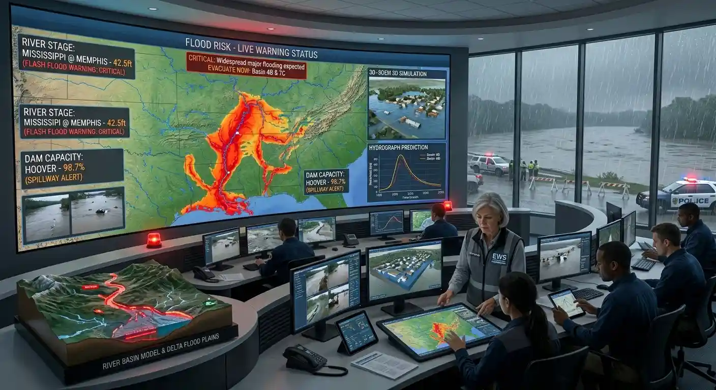
Live flood warnings in the U.S. and flood events worldwide, with heavy rain and flood zones on one map.
U.S. warnings: National Weather Service. Worldwide events: GDACS (European Commission and United Nations). Heavy rain: NASA GPM IMERG satellite rain rates, delayed by several hours. U.S. flood zones: FEMA National Flood Hazard Layer, visible when zoomed in close. This page does not replace official warnings. Never drive through flooded roads.
What This Flood Map Shows
This page shows flood warnings and flood events on a live map. In the United States, it shows warnings, watches and advisories from the National Weather Service. For the rest of the world, it shows flood events from GDACS, the disaster alert system of the European Commission and the United Nations, with a green, orange or red alert level. You can also turn on a layer with heavy rain from NASA satellites, and a layer with FEMA’s official flood zones for the United States. The flood zones appear when you zoom in close to a town.
Is There a Flood Warning Near Me?
Press My location and allow location access. The map moves to your position. In the United States, a box above the map shows every active flood alert for your exact location. Outside the United States, look for colored dots near you, or check with your national weather service.
Flood Watch, Warning and Advisory
- Flood watch: Conditions are right for flooding to happen. Be ready.
- Flood advisory: Minor flooding is expected, which may cause inconvenience.
- Flood warning: Flooding is happening or is about to happen.
- Flash flood warning: Dangerous flooding is happening or is about to happen very quickly. Move to higher ground right away.
Types of Floods
- Flash floods come within minutes or hours of heavy rain, often in narrow valleys, cities and dry riverbeds. They are the most dangerous type.
- River floods build up over days as rivers rise above their banks.
- Coastal floods are caused by storm surge and high tides, often during hurricanes and cyclones.
- Urban floods happen when rain cannot drain from streets and paved areas.
Floods Are Dangerous in Cars
About half of flood deaths in the United States happen in vehicles. Just 6 inches (15 cm) of moving water can knock you off your feet. About 12 inches (30 cm) can float a small car, and 2 feet (60 cm) can carry away most vehicles. Never drive through a flooded road. The rule is simple: turn around, don’t drown.
Some of the Worst Floods in History
- China, 1931: The Yangtze and Yellow river floods killed an estimated 1 million to 4 million people. It may be the deadliest natural disaster ever recorded.
- Pakistan, 2010: About one fifth of the country went under water. More than 20 million people were affected.
- Pakistan, 2022: Monsoon floods affected about 33 million people and caused more than 1,700 deaths.
- Texas, 2017: Hurricane Harvey dropped more than 60 inches of rain in parts of the state, and damage reached about $125 billion.
- Germany and Belgium, 2021: More than 220 people died after record rain over the Ahr and Meuse river valleys.
- Libya, 2023: Two dams collapsed during Storm Daniel and destroyed large parts of the city of Derna. Thousands died.
- Spain, 2024: More than 220 people died in the Valencia region in October.
FEMA Flood Zones
In the United States, FEMA maps areas by their flood risk. A high-risk zone, such as Zone A or AE, has a 1 percent chance of flooding in any year. Over a 30-year mortgage, that is a 26 percent chance. FEMA says that more than 20 percent of flood insurance claims come from outside the high-risk zones, and just 1 inch of water can cause thousands of dollars in damage to a home. Most standard home insurance does not cover flood damage, so check your policy.
What to Do in a Flood
Move to higher ground, and do not wait for the water to reach you. Never walk or drive through floodwater, because it can hide damaged roads and carry dangerous things. Turn off electricity and gas if you can do it safely. Follow your local emergency officials, and keep a phone charger and emergency supplies ready. EarthInformer is an information site and does not issue official warnings.
Source: Flood warnings from the National Weather Service. Global flood events from GDACS. Rain data from NASA GPM IMERG. Flood zones from FEMA.
Flood FAQ
Press My location on the map above. In the United States, it shows every active flood alert at your position. Elsewhere, check the colored dots on the map and your national weather service.
A watch means flooding is possible, so be ready. A warning means flooding is happening or is about to happen, so take action.
A flash flood is a sudden flood that starts within minutes or a few hours of heavy rain. It is the most dangerous type, because the water can rise very fast.
About 12 inches (30 cm) of moving water can float a small car, and about 2 feet (60 cm) can carry away most vehicles. Never drive through flooded roads.
Zoom in on your address on the map and turn on U.S. flood zones. The layer shows FEMA’s official flood hazard areas. You can also check with your local government or insurance agent.
They come from GDACS, the global disaster alert system. Green is a lower impact, orange is a moderate impact and red is a high impact, based on factors like the area and the number of people affected.
Warnings and global events refresh every 5 minutes. The satellite rain layer is delayed by several hours.